Services Offered


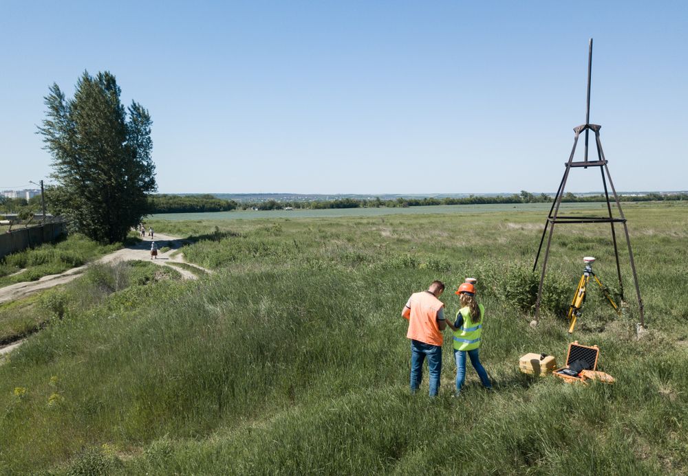
Unsure of your boundaries?
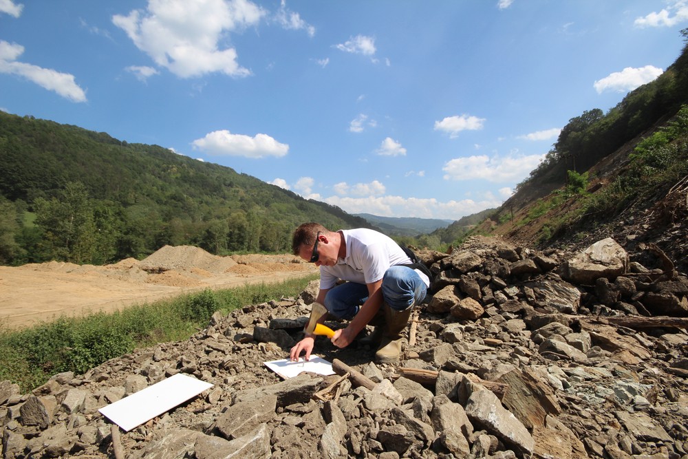
A re-establishment survey will determine the correct position of your boundaries fenced or not.
What is Contour Survey?
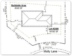
A contour survey results in a plan of your lot showing the 'lay of the land'. Contours are useful in designing excavating or home design and siting. Councils may require a contour survey so they can determine any issues that may affect construction on your lot. This is generally associated with a planning permit application for a form of development.
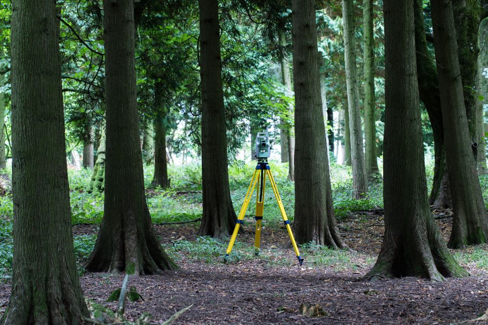
A feature survey determines the location of the property accurately such as trees, buildings, earth forms, fencing, surrounding property features to help in design and planning permit requirements to locate houses, gardens, etc.
A feature survey determines the location of the property accurately such as trees, buildings, earth forms, fencing, surrounding property features to help in design and planning permit requirements to locate houses, gardens, etc.

Land subdivision?
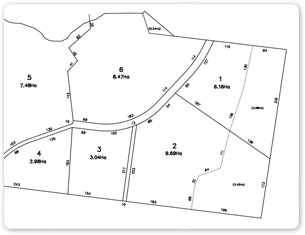
Land subdivision is dividing your lot into smaller lots. This is a legal process as new titles can be issued for each new lot. These lots can have dwellings or associated building on them. Other forms of the subdivision are lot restructuring where you may have several titles that need rearranging. Subdividing your block into individual lots requires a planning permit.
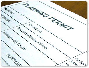
Planing Permit Applications?
A planning permit application may be required from the council if you intend to build.
Planning permit applications are necessary for lot subdivisions whether in a town or rural locations.
Planning permit applications are necessary for lot subdivisions whether in a town or rural locations.
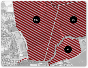
Zones?
Your property is in a council planning zone. This zone has many requirements to control the use and development of your land and its surroundings.


Surveytech offers FREE ADVICE!
We are always happy to provide you with the best solutions allowing you to experience the best customer support. Contact us now!